Skip to content
Join our Newsletter

Freezing Temperatures and Winter Weather Expected in Colorado This Weekend

thermometer cold

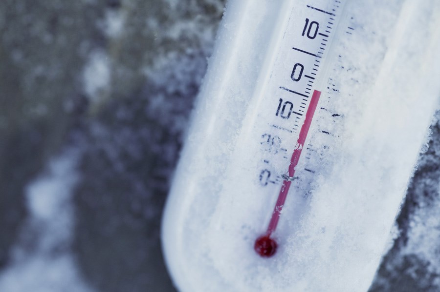
An arctic blast is pushing cold air into many parts of the U.S. this week, and Colorado is expected to feel the brunt of the effects from Friday evening until Monday. Wind chill temperatures are expected to dip below zero degrees Fahrenheit in the greater Denver and Boulder regions on Sunday and Monday according to the National Weather Service (NWS).


Arctic blasts occur when cold air moves south from near the Arctic Circle into Canada and the U.S. It is caused when the polar vortex is disrupted. 


The cold temperatures caused by this arctic blast are predicted by the NWS to be felt until Tuesday morning. Residents of greater Denver and Boulder are recommended to take precautions like dripping faucets overnight and setting thermostats to a minimum of 65 F to prevent pipes in their homes from freezing.


In addition to cold temperatures, the NWS predicts light snow on Friday night into Saturday morning, as well as Sunday night into Monday morning. Some parts of greater Denver and Boulder will likely see snow accumulations of up to four inches between Friday night and Monday morning. Impacts of snowfall and an extreme drop in temperature Friday night, according to the NWS, could lead to icy roads on Friday evening. 


Current Weather

Cloudy

Cloudy

42°F

UV Index
0 Low
Pressure
30.18 Steady
Visibility
4 miles
Dewpoint
41 °F
Humidity
96%
Wind
NNE 2.1 mph
Gust
4.2 mph
Wind Chill
42 °F

Hourly Forecast

Today
11 PM
42°F
Rain
Tomorrow
12 AM
43°F
Rain
Tomorrow
1 AM
43°F
Rain
Tomorrow
2 AM
43°F
Intermittent clouds
Tomorrow
3 AM
43°F
Intermittent clouds
Tomorrow
4 AM
43°F
Intermittent clouds
Tomorrow
5 AM
43°F
Intermittent clouds
Tomorrow
6 AM
43°F
Intermittent clouds
Tomorrow
7 AM
45°F
Intermittent clouds
Tomorrow
8 AM
48°F
Fog
Tomorrow
9 AM
51°F
Fog
Tomorrow
10 AM
56°F
Fog

7 Day Forecast

Showers

Friday

46 °F

A thick cloud cover and chilly with a few showers


Mostly cloudy w/ showers

Friday Night

41 °F

Rain and drizzle this evening; otherwise, low clouds breaking


Mostly cloudy

Saturday

74 °F

Areas of fog in the morning; otherwise, warmer with variable cloudiness


Clear

Saturday Night

41 °F

Clear


Partly sunny

Sunday

80 °F

Very warm with sunshine mixing with some clouds; breezy in the afternoon; elevated fire risk due to gusty winds and low humidity


Partly cloudy

Sunday Night

46 °F

Partly cloudy


Mostly cloudy

Monday

64 °F

Turning cloudy, windy and cooler; a shower in spots in the afternoon


Mostly cloudy

Monday Night

39 °F

Cloudy in the evening, then partly cloudy late


Intermittent clouds

Tuesday

66 °F

Sun and clouds


Mostly clear

Tuesday Night

39 °F

Mainly clear


Sunrise and Sunset

Sunrise
6:08 AM
Sunset
7:49 PM

Based on AccuWeather data