Skip to content
Join our Newsletter

Red Flag Warning Issued for Boulder County as Strong Winds and Fire Danger Increase

adobestock_174512464
Windsock blown by the wind with overcast sky in background

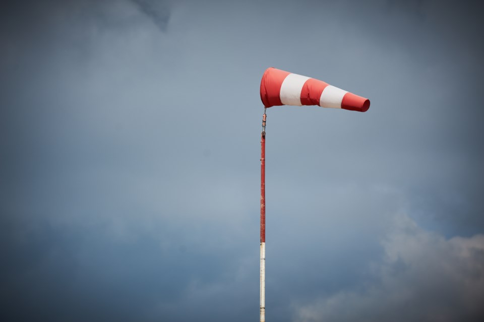
Strong winds are expected throughout the day today in the Front Range and eastern Colorado and Red Flag Warnings have been issued for Boulder County, the I-25 corridor, the Denver metro area, and more.


The warning in Boulder County begins at 11 a.m. and continues until 7 p.m. The Boulder County Sheriff’s Office announced this morning that all open burning, including agricultural burning, is prohibited from 12:01 a.m. to 11:59 p.m.


A Red Flag Warning, according to the National Weather Service, means that warm temperatures, very low humidity, and stronger winds are expected to combine to produce an increased risk of fire danger. 


CBS News reported that winds will gust as high as 40 miles per hour in lower elevations, but the foothills could see gusts over 60 miles per hour. Relative humidity will also drop as low as nine percent and temperatures will climb above average, with some areas’ temperatures even reaching the 70s and 80s. 


By tomorrow, a cold front will sweep across Colorado, with a chance of rain and snow. Precipitation is not expected to start until tomorrow evening in the Front Range and is not expected to accumulate much. In the mountains, snow will start in the early afternoon and may accumulate up to 12 inches in some areas.

Current Weather

Mostly cloudy

Mostly cloudy

66°F

UV Index
5 Moderate
Pressure
29.85 Steady
Visibility
8 miles
Dewpoint
15 °F
Humidity
14%
Wind
WSW 11.2 mph
Gust
23.7 mph
Wind Chill
66 °F

Hourly Forecast

Today
2 PM
71°F
Mostly cloudy
Today
3 PM
72°F
Cloudy
Today
4 PM
73°F
Cloudy
Today
5 PM
71°F
Cloudy
Today
6 PM
68°F
Cloudy
Today
7 PM
65°F
Mostly cloudy
Today
8 PM
62°F
Partly cloudy
Today
9 PM
58°F
Partly cloudy
Today
10 PM
55°F
Partly cloudy
Today
11 PM
51°F
Mostly clear
Tomorrow
12 AM
49°F
Mostly clear
Tomorrow
1 AM
48°F
Mostly clear

7 Day Forecast

Mostly cloudy

Monday

73 °F

Mostly cloudy, becoming windier and warmer; gusty winds and dry weather bring a high fire threat


Partly cloudy

Monday Night

45 °F

Partly cloudy


Mostly cloudy w/ showers

Tuesday

67 °F

Very windy; turning cloudy with a passing shower in the afternoon


Flurries

Tuesday Night

30 °F

Strong winds subsiding; a bit of evening snow, accumulating a coating to an inch; otherwise, cloudy and colder; watch for slippery spots


Intermittent clouds

Wednesday

50 °F

Breezy in the morning; otherwise, cooler with sun and clouds


Mostly cloudy

Wednesday Night

25 °F

Turning cloudy


Mostly cloudy

Thursday

59 °F

Mostly cloudy and milder


Cloudy

Thursday Night

34 °F

Cloudy


Partly sunny

Friday

57 °F

Partly sunny


Mostly cloudy

Friday Night

28 °F

Increasing cloudiness


Sunrise and Sunset

Sunrise
7:09 AM
Sunset
7:09 PM

Based on AccuWeather data